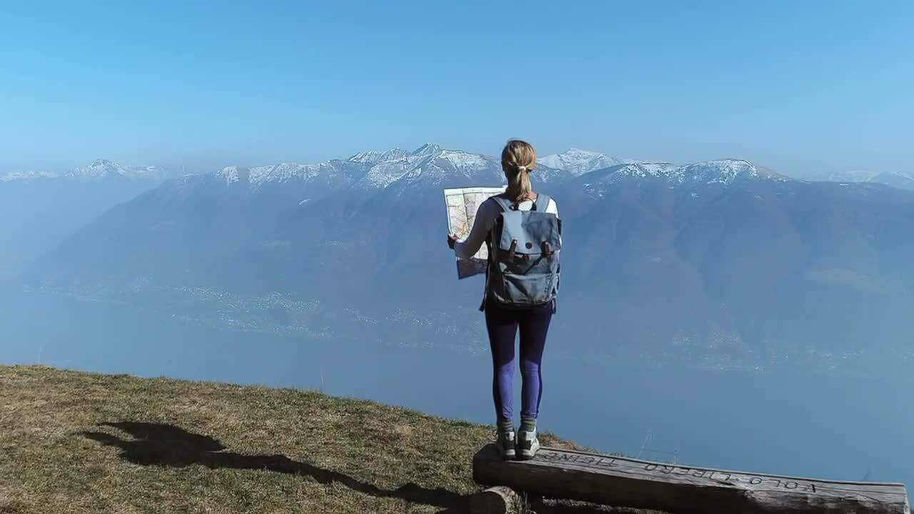
A map can show you how roads and railways run through a country, where lakes, mountains and cities are located, and much more. A map is a diminished image of an area. The extent of the reduction is indicated in the scale of the map. By using the geographical grid, in which the world is divided into a coordinate system of longitudes and latitudes, we can find exact positions of places. In this film we look at different types of maps, for example the typographical map and the thematic map, and how they can be used. You will learn that even modern satellite-based maps, like GPS, are based on the geographical grid and its coordinates. And that map projections on a flat surface always show countries and continents in the wrong size, shape or locations compared to a round globe, and that you for this reason need to use different map projections depending on the area of use.
- Digital maps
- Map projections
- Maps
- Thematic Maps
- Topographic Maps
- Latitude